
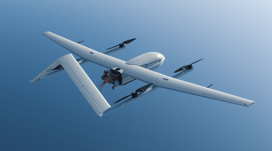
CW-30E Hybrid Gasoline & Battery Long Flight Time UAV
CW-30E combines long endurance, heavy payload capacity and VTOL operation in a hybrid fixed-wing UAV platform for demanding land and maritime missions.
Explore the platformA heavy-lift hybrid VTOL for long-range missions
The platform is positioned for wide-area coverage, high-precision aerial operations and low-logistics mission profiles with gasoline or heavy-fuel configurations. Eagle Map supports planning, video surveillance, real-time mosaic, AI processing and remote takeoff/landing workflows.
Endurance, safety and data coverage for field missions
The source page highlights long flight time, extended data link, autonomous task execution and environmental adaptability as core advantages.
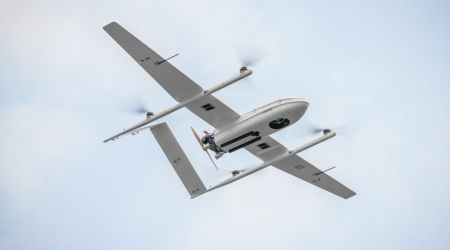
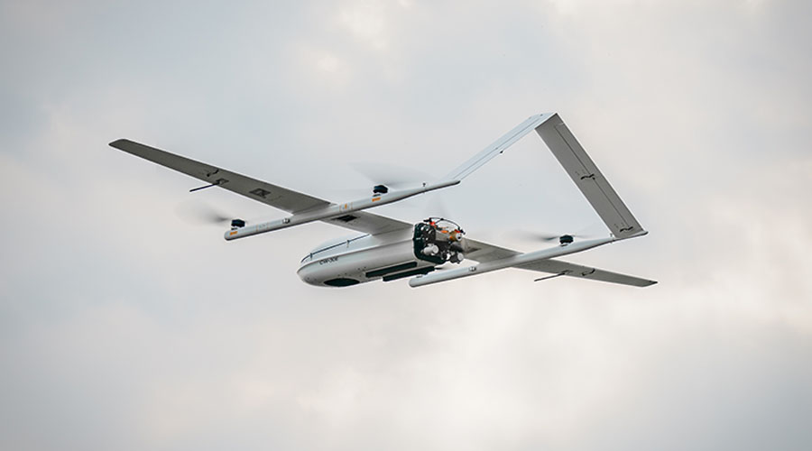
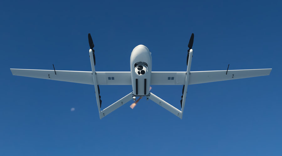
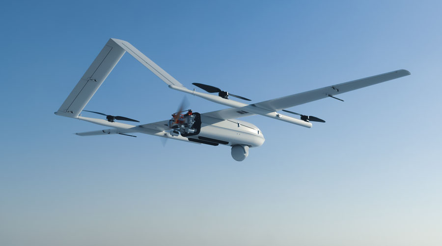
Carries up to 8 kg and can be configured with different high-performance mission payloads.
Up to 8 hours with a 6 kg payload reduces sortie pressure on wide-area missions.
A control link up to 200 km supports long-range surveillance and coverage tasks.
VTOL, auto pre-flight checks, automatic task execution and emergency return/landing simplify operations.
Advanced flight-control and navigation systems focus on autonomous missions in complex weather.
Fault recovery, abnormal actuator balancing and emergency return/landing scenarios are supported.
Positioned for high altitude, humidity, low temperature and light-rain conditions.
Mobile-platform takeoff and landing enables more flexible maritime operations.
Mission-specific sensors and camera payloads
The platform can be matched with LiDAR, industrial aerial cameras, oblique camera systems, gimbals and SAR payloads.
Handheld and field-ready control stations
TC-200 Handheld GCS All-in-one handheld UAV ground control station.
GCS-303 Ground Control Station Portable dual-screen ground control station for drone operations.
Planning, tracking and real-time data management
Eagle Map Drone software solution for security and surveillance operations.
FlightSurv Mapping software for flight planning, data collection, processing and analysis.
Published technical values
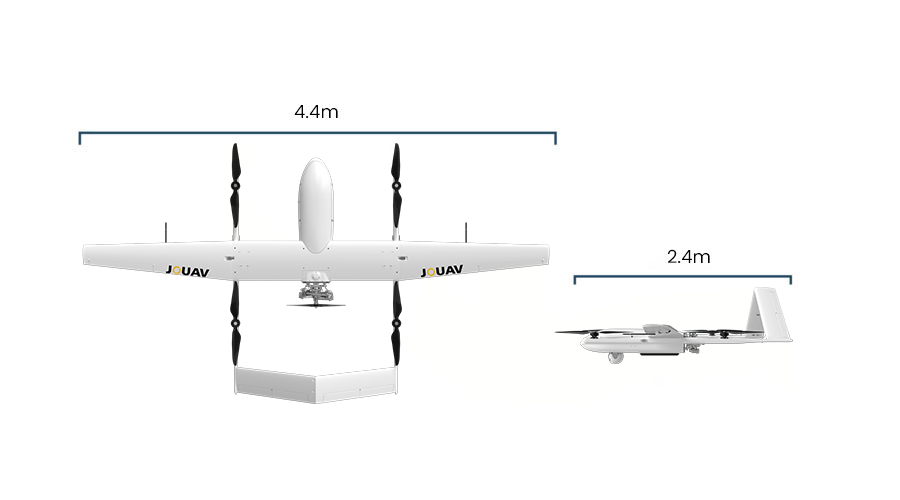
Hardware
Flight Performance
Performance values are theoretical figures measured by the manufacturer under specific conditions; actual results may vary by configuration and environment.